Mae Sot to Umphang, the 1,219 Curves
- Tak
- Province
- 165 km
- Distance
- Full Day
- Riding time
- November - February
- Best season
- Advanced
- Level
- Road
- Surface
Passes throughMae SotPhop PhraUmphang
Loading map…
Elevation
- 165 km
- Distance
- 2,886 m
- Total climb
- 1,324 m
- Highest point
- 214 m
- Lowest point
0 km, Tak82 km165 km, Tak
The ride
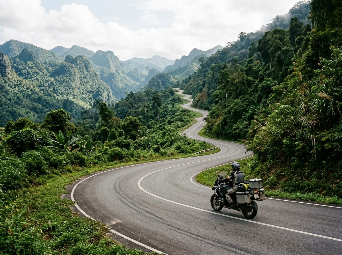
Road 1090 to Umphang is a dead end, and that is the point. The first stretch out of Mae Sot is flat farmland, then the road climbs into the mountains and does not stop turning: 1,219 curves by the local count, reaching about 1,300 m before it drops to Umphang. Traffic all but disappears. There is an army checkpoint on the way, so carry your passport. Umphang is the base for Thi Lo Su waterfall, and the only way back is the way you came.
Before you go
This track was drawn from a map, not recorded on a ride. Check road conditions locally before you set out.
Photos
More rides nearby
In these riding guides
Tak