The Mekong Road: Chiang Saen to Chiang Khong
- Chiang Rai
- Province
- 221 km
- Distance
- Full Day
- Riding time
- November - February
- Best season
- Beginner
- Level
- Road
- Surface
Passes throughChiang RaiMae ChanChiang SaenChiang Khong
Loading map…
Elevation
- 221 km
- Distance
- 732 m
- Total climb
- 654 m
- Highest point
- 356 m
- Lowest point
0 km, Chiang Rai110 km221 km, Chiang Rai
The ride
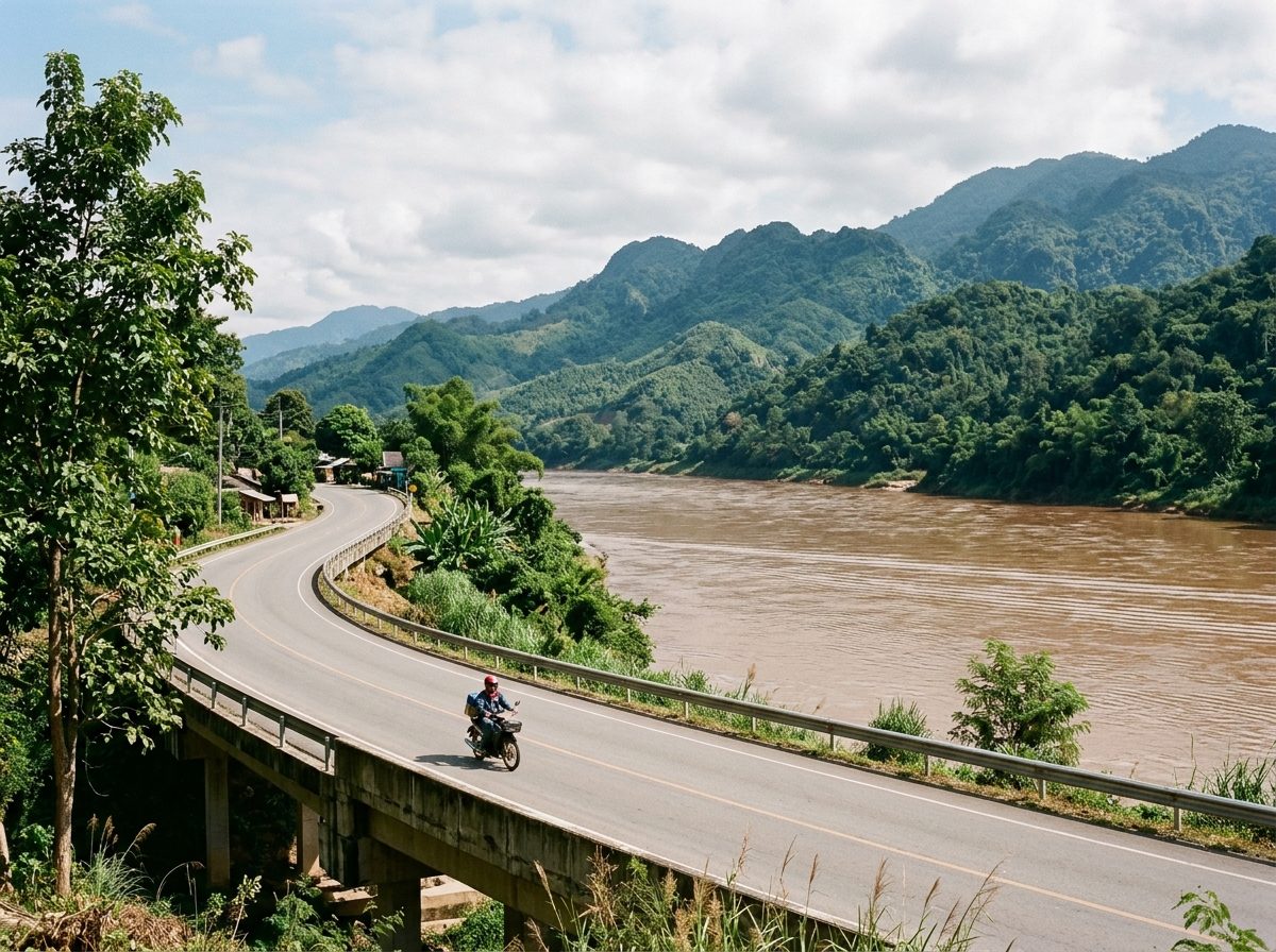
A loop from Chiang Rai to the Mekong and along it. Ride up to Chiang Saen, an old walled town with ruined chedis among the teak trees, then follow the river road east with Laos on the far bank all the way to Chiang Khong, the border town facing Huay Xai. The road rises over headlands and drops back to the water, with almost no traffic. Return to Chiang Rai on Road 1020.
Before you go
This track was drawn from a map, not recorded on a ride. Check road conditions locally before you set out.
Photos
More rides nearby
- Distance
- 225 km
- Climb
- 1,629 m
- Level
- Beginner
- Distance
- 150 km
- Climb
- 2,938 m
- Level
- Intermediate
- Distance
- 266 km
- Climb
- 1,063 m
- Level
- Beginner
- Distance
- 231 km
- Climb
- 2,338 m
- Level
- Intermediate
In these riding guides
Chiang Rai