← Back to All RoutesDownload GPX
Chiang Mai to Doi Mae Salong
Road
Intermediate
Route Map

Route Preview
Route Description
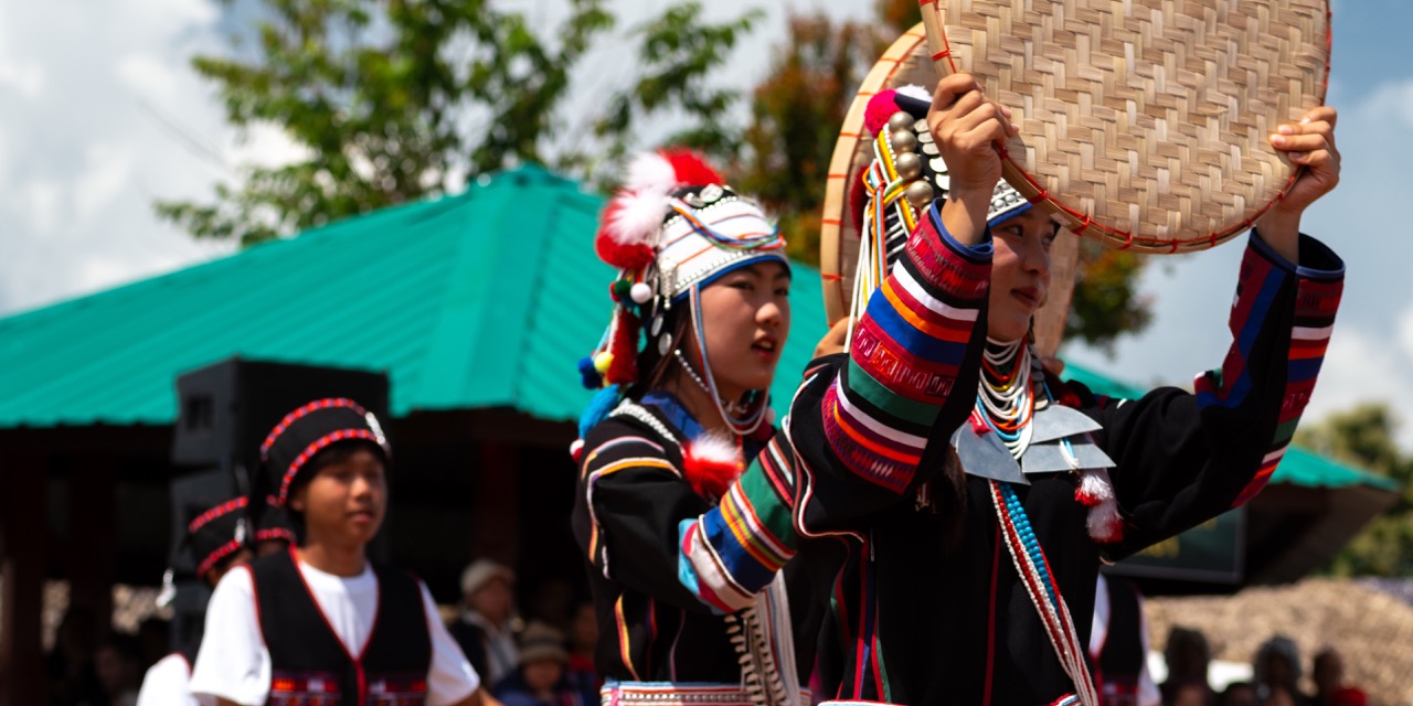
A ride into the cool hills of Chiang Rai following a gorgeous ridge line through Doi Chang. The ride ends in the hills of Doi Mae Salong where there are plenty of Yunan and other Hills Tribe villages.
Route Details
Location
Chiang Rai
Distance
340 km
Elevation Gain
6298 m
Duration
Full Day
Best Season
All Seasons
Last Verified
12/01/2026
Fuel Stops
In all major towns
Water Crossings
None